The Trail That Finally Connects Emerald Mountain, Top to Bottom
September 10, 2026
September 10, 2026
Drop in near the radio towers above the Orton property this month and you can ride Highway to Hell nonstop, from the ridge down to the stables at Howelsen Hill, without stopping at the quarry to wait for a trail that wasn't finished yet. That's still fairly new. While it was under construction, Highway to Hell wasn't rideable at all. The lower section, from the quarry down to the stables, opened to riders in early August 2025. The upper section followed about two months later, and the full top-to-bottom line became rideable on October 2, 2025. This fall is the first one where the whole run has been open through an entire aspen season, and the timing matters for anyone who lives close enough to Lincoln Avenue to walk to the trailhead.
Emerald Mountain's master plan always called for two one-way downhill trails: a green run and a black one. Routt County Riders had already built the easy one, a light-blue descent called NPR, but the black diamond sat on the drawing board for years. That changed in 2022, when a Routt County Riders board member proposed an ambitious top-to-bottom descent, and because the route was already in the master plan and sat on city land, it moved through approval faster than most trail projects do. The design was accepted in October 2023, construction started in May 2024, and FlowRide Concepts, the same builder behind NPR, finished the $350,000 build using the city's 2A trail tax funds.
The trail runs just over three miles, with 27 berms, 11 step-up jumps, 27 rock drops, and roughly 20,000 square feet of rock armoring packed into a single downhill-only run. It drops from about 8,180 feet near the summit to 6,743 feet at the stables, a descent of more than 1,400 feet at an average grade just under 9 percent. None of that is unusual for an advanced trail. What's unusual is how it got named: a city survey collected 1,831 votes last year, and Highway to Hell won out over three other options, in part because it paired naturally with an existing Emerald trail called Stairway to Heaven.
The reason Highway to Hell changes personality three times over three miles comes down to a conservation easement, not a design choice. From the quarry to the summit, Emerald Mountain carries a conservation easement that prohibits built features, so the upper trail had to work entirely with natural terrain. Below the quarry, the city had more room to build, and it shows.
The lower third rolls through berms and tabletop jumps gentle enough for an intermediate rider. Cross the quarry overlook and the trail turns to chunky rock work with optional side hits, then eases into rolling doubles and tabletops that need real speed to clear, followed by a steep bridge with no ride-around line, though you can walk it if you'd rather not hit it. Past the crossing with Lupine Trail, the final stretch opens into a bike-parky run of big doubles and optional drops, including a wooden feature on the right side that punishes anyone who comes up short on speed. Three sections, three different builds, one easement drawing the line between them.
When the lower section opened to riders last August, Parks and Recreation Development Manager Matt Barnard described the moment as
"shifting from construction to pure exhilaration."
That's the version of the story most fall-color roundups skip. The trail isn't just scenic. It's a physical record of a land-use compromise that took three years to work out.
Emerald Mountain's popularity has created its own friction, and it surfaced clearly back in 2022, the same year Highway to Hell got proposed. That was the first summer the city issued commercial permits allowing outfitters to run lessons, clinics, and tours on the mountain, and not everyone welcomed it. Gretchen Shaler, who helped build some of the mountain's trails, told the Parks and Recreation Commission she worried about the volume of use, warning that the trails were, in her words, "loving Emerald to death." The commission voted 6-1 to hold the daily group cap at five riders for commercial tours rather than raise it to ten, even as youth programs like the Steamboat Springs Winter Sports Club logged over 2,100 users on the trail system in a single season.
That debate settled the cap, but it didn't settle the underlying tension. A trail system that draws hikers, mountain bikers, trail runners, and horseback riders onto 24 miles of non-motorized singletrack will keep asking the same question every time a new trail opens or a new user group shows up. Highway to Hell's completion is the latest thing to test that balance.
Part of what makes Emerald Mountain different from Steamboat's resort-side trails is that you don't need a car to get there from downtown. Two trailheads handle most of the traffic:
Both put you on dirt within minutes of leaving pavement. That proximity is the whole reason Emerald functions as the default trail system for people who live downtown rather than up at the base area.
Fall on Emerald Mountain has a fixed endpoint. The Emerald Mountain Trail Run happens on Saturday, October 3, 2026, starting at Howelsen Hill Parkway with two distances: a 12k (closer to 7.75 miles) and a 4-mile run, both starting at 9 a.m. Hikers are welcome in the 12k, and the course description promises aspen-lined single track the whole way. The race is a fundraiser for Northwest Colorado Health, and it also marks the final points race of the Steamboat Springs Running Series, a community racing tradition the Pilot & Today has documented in its archives back to at least 1988.
That's a different kind of finish line than the resort side of town offers. Emerald also hosts the Emerald Mountain Epic each August, a two-day mountain bike and trail running race presented by Hard Headed that benefits Routt County Riders and Partners for Youth, built on a course its organizers describe as "90 percent single track." Between the August Epic and the October Trail Run, the mountain effectively bookends the entire riding and running season for people who live close enough to use it as their backyard trail system.
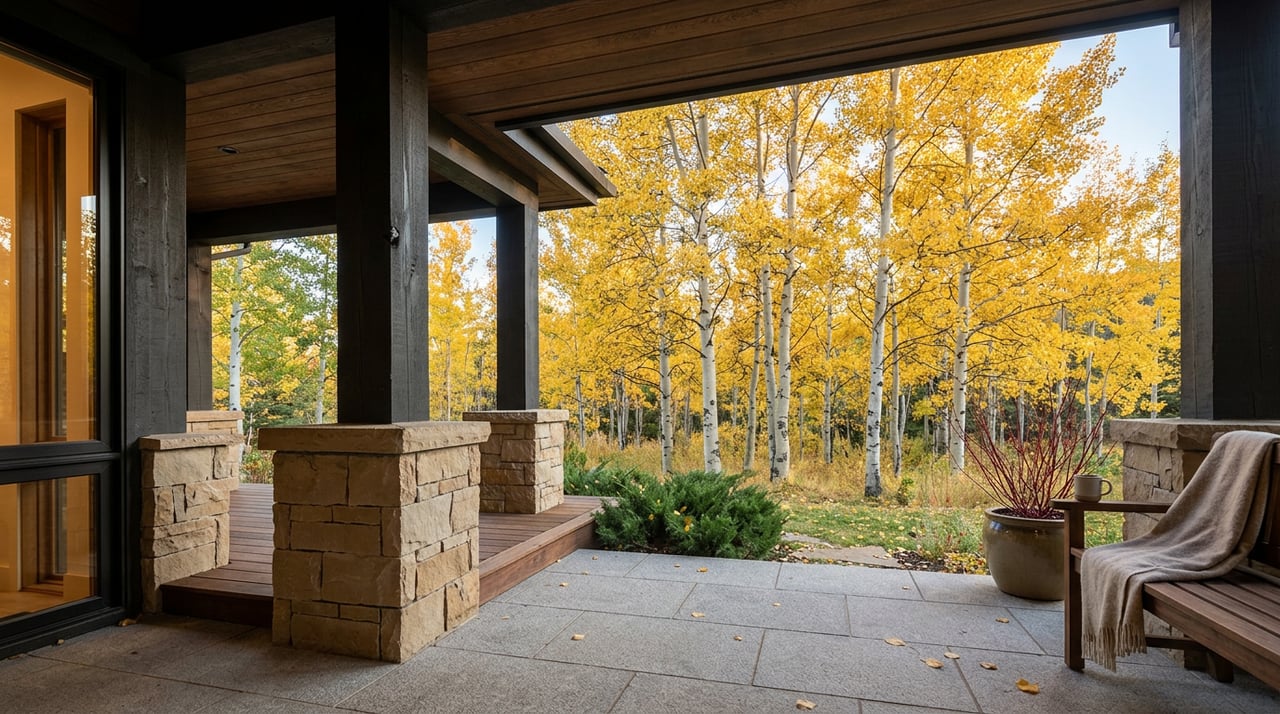
None of this is really about leaf color, even though the aspens along Lupine and the upper reaches of Highway to Hell are the reason most visitors come looking. The real story is that Emerald Mountain just finished a multi-year construction project, resolved (at least for now) a fight over how many people should be allowed up there at once, and settled into a season where its newest trail can be ridden the way it was designed to be ridden: one continuous line from the ridge to the river.
For anyone who already calls downtown Steamboat home, that's the kind of detail worth knowing before your out-of-town friends ask why you'd rather ride Emerald than drive up to the resort. You already have your answer. It's a few blocks from Lincoln Avenue, it just got finished, and it closes out its season with a race that's been running since before most of downtown's current buildings existed.
If you're weighing what it means to live within walking distance of a trail system like this, or you're curious how proximity to places like Emerald Mountain shows up in what a downtown property is actually worth, the Zopf Team knows this neighborhood block by block. Reach out anytime you want a straight answer about what's for sale near it.
Stay up to date on the latest real estate trends.
We are here to guide you through the complexities of the Steamboat Springs market with the poise and precision your investment demands.